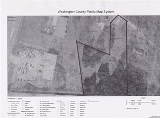
Why not own all the topographical features of the Ozarks combined in this one 80.74 acres. If you want to get lost from the rest of the world, you can, yet you are only 9/10 mile off Hwy 71 with approximately 1300 ft. of paved County Road frontage on #30 aka Mineral Springs Road. Host a huge church picnic, family reunion or wedding on the pastoral grassy creek-side meadows. Play in, or on either side of the banks of Dye Creek as it flows on your land for approximately 2000 ft. Find remnants of the old trail that once led to a saw mill located on the property over 70 years ago. Climb the bluffs and overlook your own valley. High point elevation here is 1526 ft. and the grassy valley is 1400 ft. West Fork City Water is reported to be at the county road, yet this land is outside the city limits. Electric is as near as the adjoining properties. Explore, build and create your own legends on this land that captures most of the topography of all the Ozarks in one 80.74 acres.
This property is off market, which means it's not currently listed for sale or rent on Zillow. This may be different from what's available on other websites or public sources.